Mt. Haruna
Mount Haruna is located in the center of Gunma Prefecture.
It is a volcano that erupted until the 7th century. It is a general term for a mountain range consisting of parasitic volcanoes such as Haruna Fuji, the central crater hill, and the outer ring of mountains including the highest peak, Mt. Kamongatake.
Mt. Haruna Fuji
It is the third highest peak on Mt. Haruna, and is called “Fuji” for its beautiful and well-proportioned appearance.
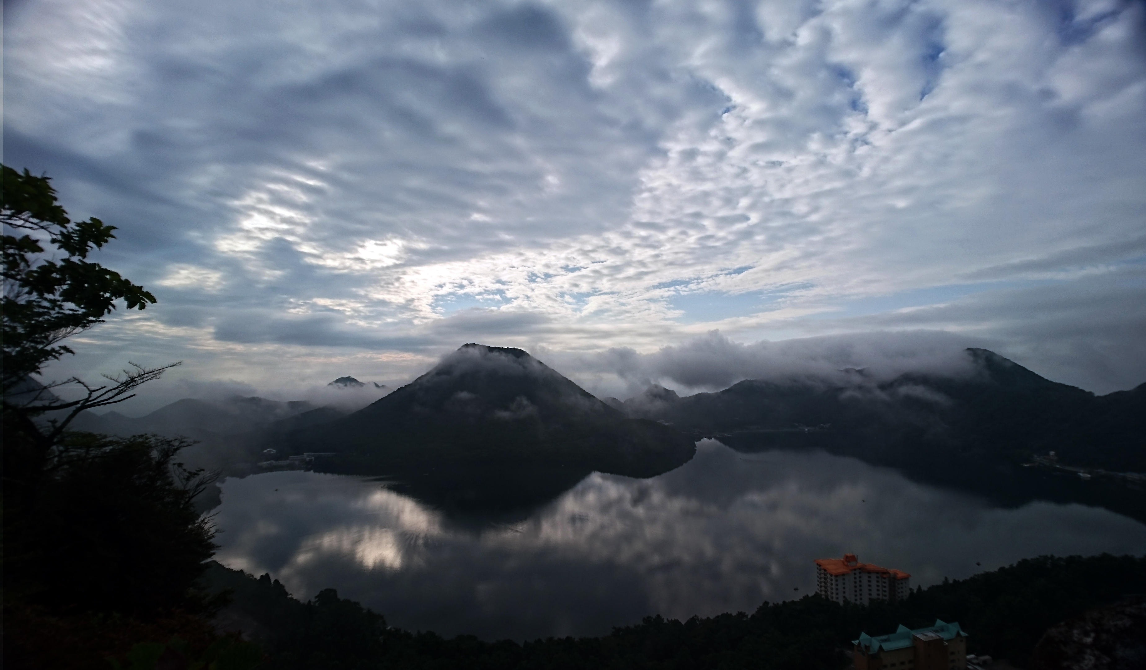
It is a central crater hill of a double volcano with a horseshoe-shaped crater at its summit.
About 200 cherry trees along the lakeside start to bloom in early May, followed by yamatsutsuji (mountain azalea) in late May, and lenge azalea all over Haruna Plateau from early June.
The top of the mountain can be reached by ropeway from the south side, offering a 360-degree view.
Access
This mountain is also not that accessible, so we recommend using a rental car.
Plan 1.
It is recommended to take JAL or ANA to Haneda (HND) and then rent a car to go to Mt. Haruna.
Head for the parking lot at the Takasaki City Free Parking Lot or Haruna Park Visitor Center Parking Lot. Approximately 3 hours.
Haneda Airport HP : https://tokyo-haneda.com/en/
Plan 2.
- Haneda Airport (HND) -> Sta. Shinagawa (Keikyu Railways) : approximately 15 minutes, 300 yen.
Haneda Airport HP : https://tokyo-haneda.com/en/ - Sta. Shinagawa (JR) -> Sta. Ueno (JR) : approximately 15 minutes, 200 yen.
- Sta. Ueno (JR) -> Sta. Takasaki (JR) : Use the Hokuriku Shinkansen, approximately 45 minutes, 4,610 yen.
If you don’t take the bullet train, it takes about 1 hour and 50 minutes and costs 2,000 yen. - Sta. Takasaki (JR) -> Sta. Lake Haruna (JR) : approximately 90 minutes, 1,330 yen.
Total: Approximately 4.5 hours.
Detail
2017/8/20
- Total distance: 3.11km
- Elevation at highest point: 1400m
- Lowest point elevation: 1118m
- Cumulative elevation: 371m
Mt. Haruna
2017/8/20
- Total distance: 3.52km
- Elevation at highest point: 1372m
- Lowest point elevation: 1086m
- Cumulative elevation: 312m
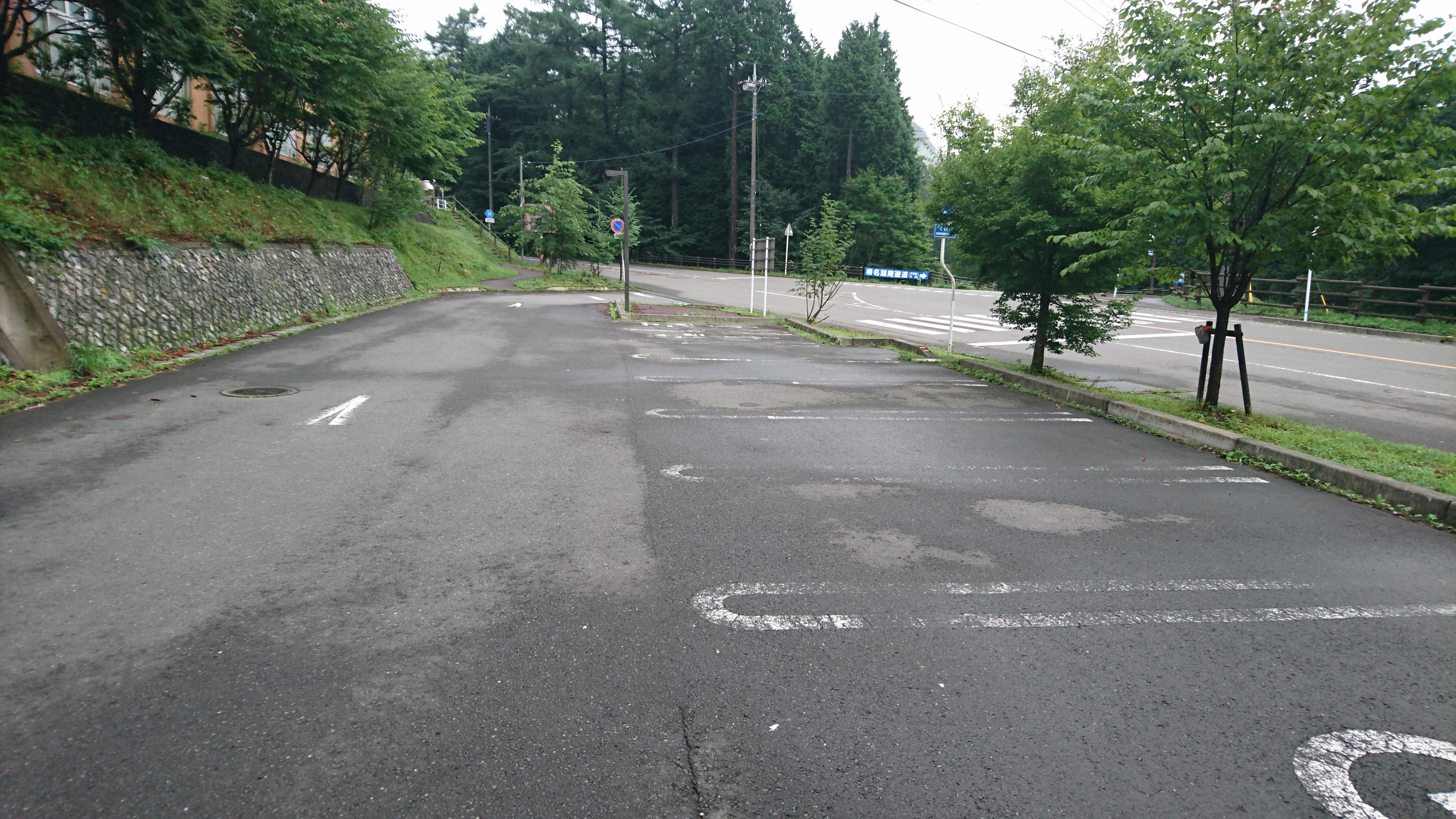
Departure from parking lot!
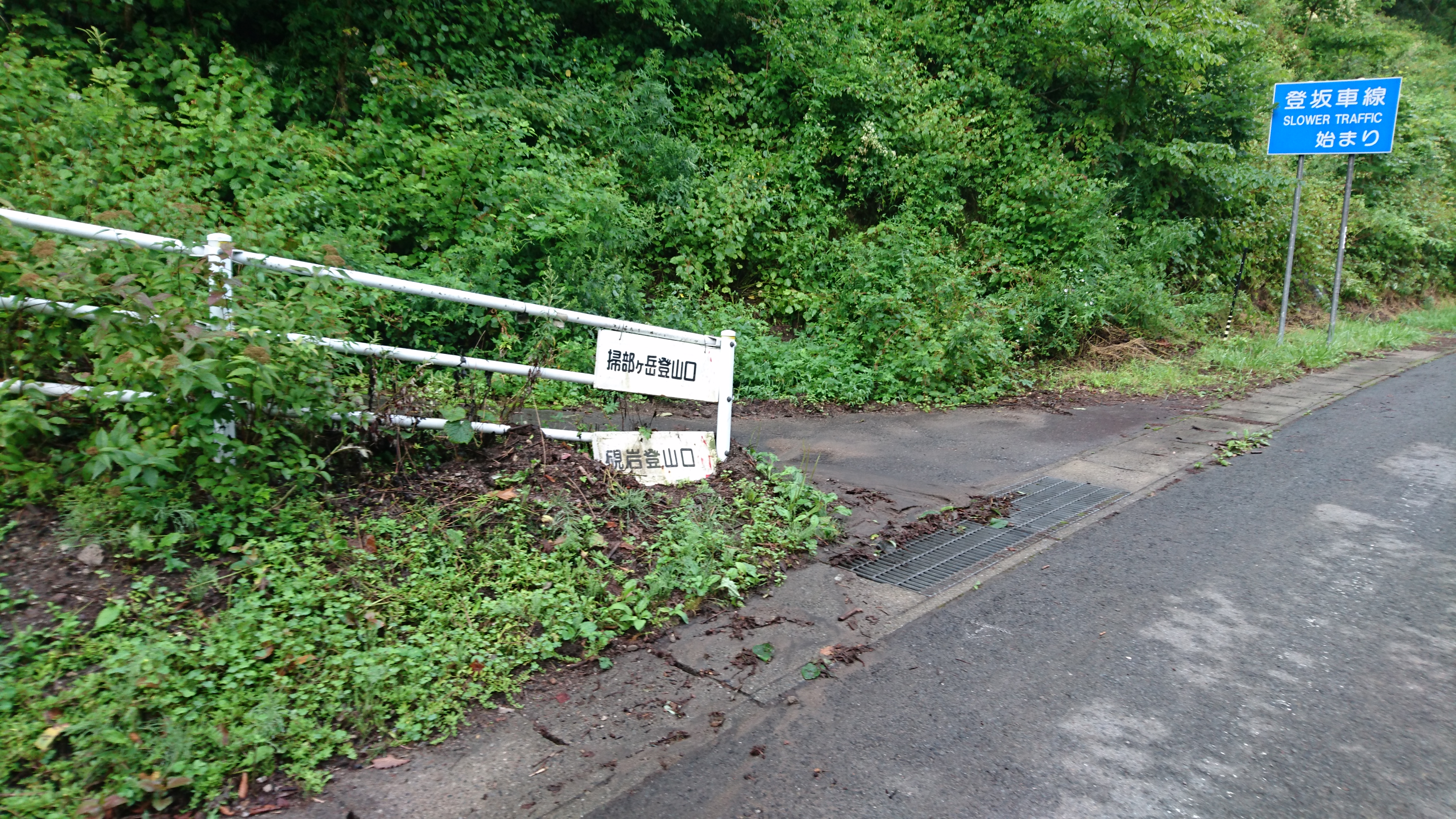
First, we headed for Kamongatake, the highest peak of Mt. Haruna.
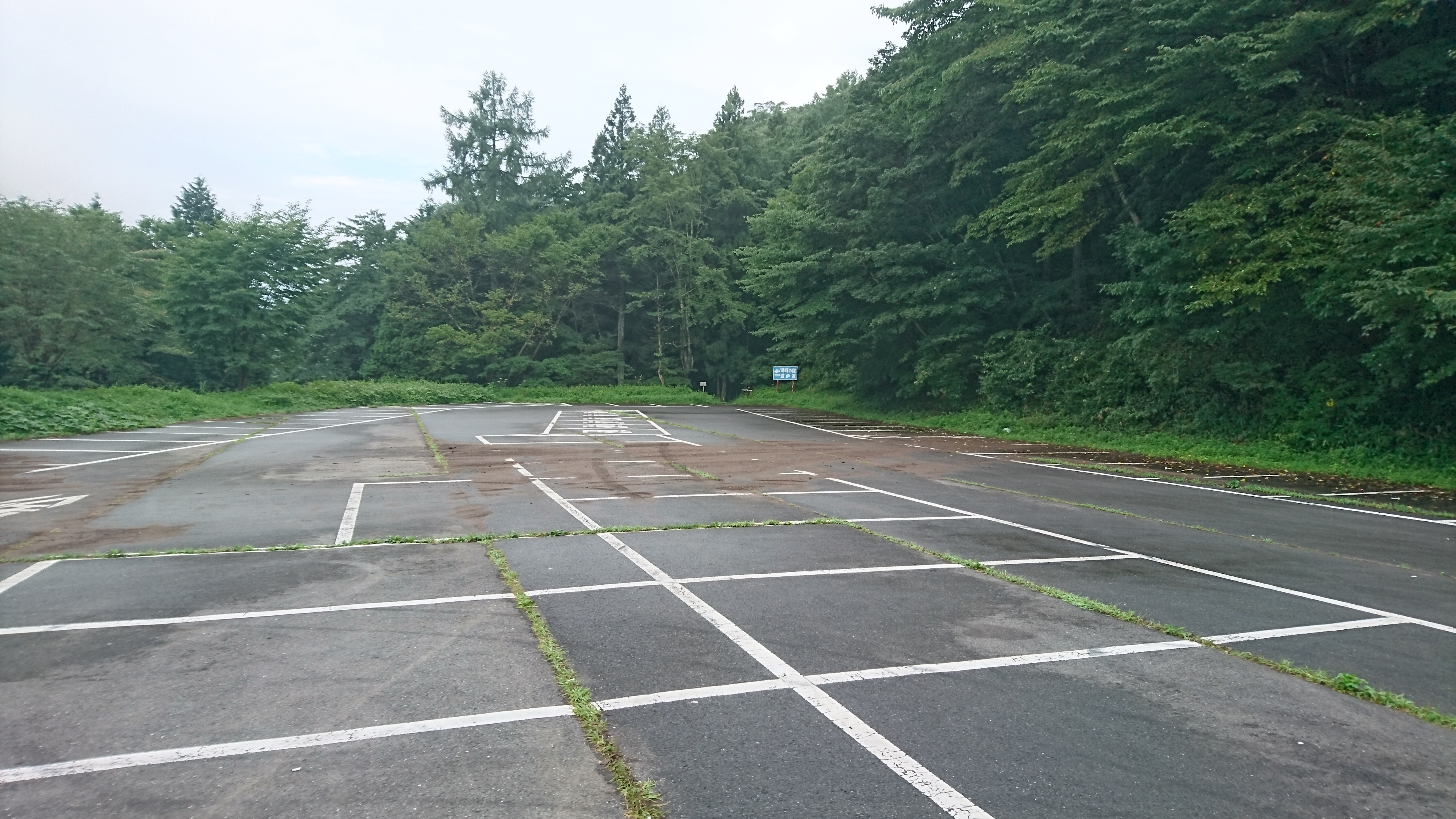
About a two-minute walk from the parking lot is the Haruna Azumaso front restroom parking lot, but there were no cars there either.
Let the climbing Kamongatake!
First, we climbed up to the Suzuri-iwa on the way. It takes about 20 minutes from the trailhead.
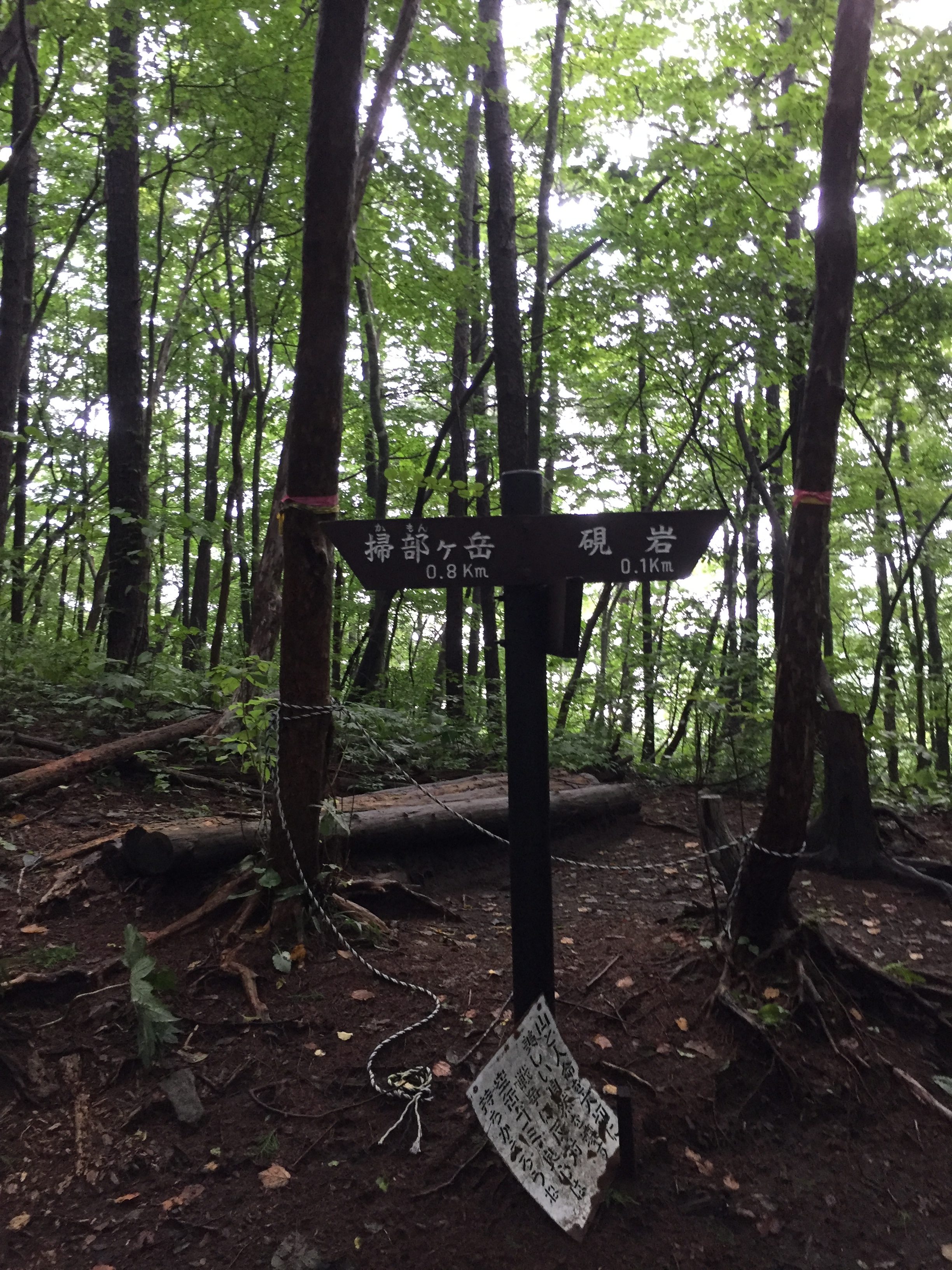
Take a right and after a bit, you will reach a steep climb. When it’s over, you’ll reach Suzuri-iwa!
Suzuri-iwa!
Haruna-Fuji can be seen over Lake Haruna.