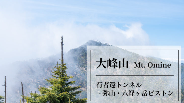
Mt. Omine
Hakkyo-ga-take (1915m), the highest peak of the Omine mountain range and the highest peak in the Kinki region.
It is a beautiful mountain where the Oyama-renge (a national natural monument) blooms in early July.
This time we took the route from the Gyoja-kaeri tunnel up to Mt Misen and Mt. Hakyo-ga-take and back.
If you stay in the vicinity of Kamikitayama Village, you will have less distance to travel and have better access to Mt. Odaigahara and Mt. Omine.
But there are no stores, so prepare food in advance!
And we based ourselves at the “Minshuku hyaku nen”.
Reservations can be made directly from the website.
HP: https://www.minsyuku100nen.comWe were able to relax in a very relaxing guest house.
Page 2: Enjoy Mt. Omine part 1
Page 3: Enjoy Mt. Omine part 2
Page 4: Enjoy Mt. Omine part 3 (Mt. Hakkyo)
Access
This mountain is very inaccessible, especially if you take public transportation.
It is best to rent a car.
Plan 1.
It is recommended to take JAL or ANA to Kansai Airport (KIX) and then rent a car to go to Mt. Omine.
Head for the parking lot at the west exit of the Gyojagaeri Tunnel. Approximately 2 hours.
Kansai Airport HP : https://www.kansai-airport.or.jp/en/
Gyojagaeri Tunn parking lot : 1,000 yen.
Plan 2.
- Kansai Airport (KIX) -> Sta. Shimoichiguchi : approximately 2 hours, 2,500 yen.
Kansai Airport HP : https://www.kansai-airport.or.jp/en/ - Sta. Shimoichiguchi -> Sta. Amakawakawai
Take the bus bound for “Dorogawa Onsen [2]” or “Nakaiosumi [7]” and get off at Amakawakawai. approximately 1 hours, 1,100 yen.
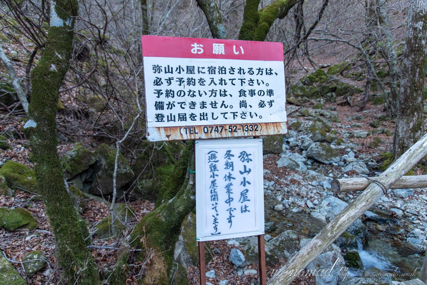
If you wish to stay overnight at the Yayasan Hut located at the top of Mt. Misen.
(+81747-52-1332)
Detail
- Total distance: 9.95km
- Elevation at highest point: 1883m
- Lowest point elevation: 1118m
- Cumulative elevation: 982m
This time it was pretty soon after it was lifted.
It’s a little hard to find, but if you zoom in on the map in “Nara Prefecture Road Regulation Information,” you’ll find the information, so check it out before you go!
When I was planning, I noticed that Google Maps didn’t show the route for some reason…
Departure from parking lot!
It is a paid parking lot, and the fee was 1,000 yen.
Also, there is a fee for the restroom, 100 yen, but without using the parking lot, it’s 200 yen. The toilets are clean, so it’s very helpful.
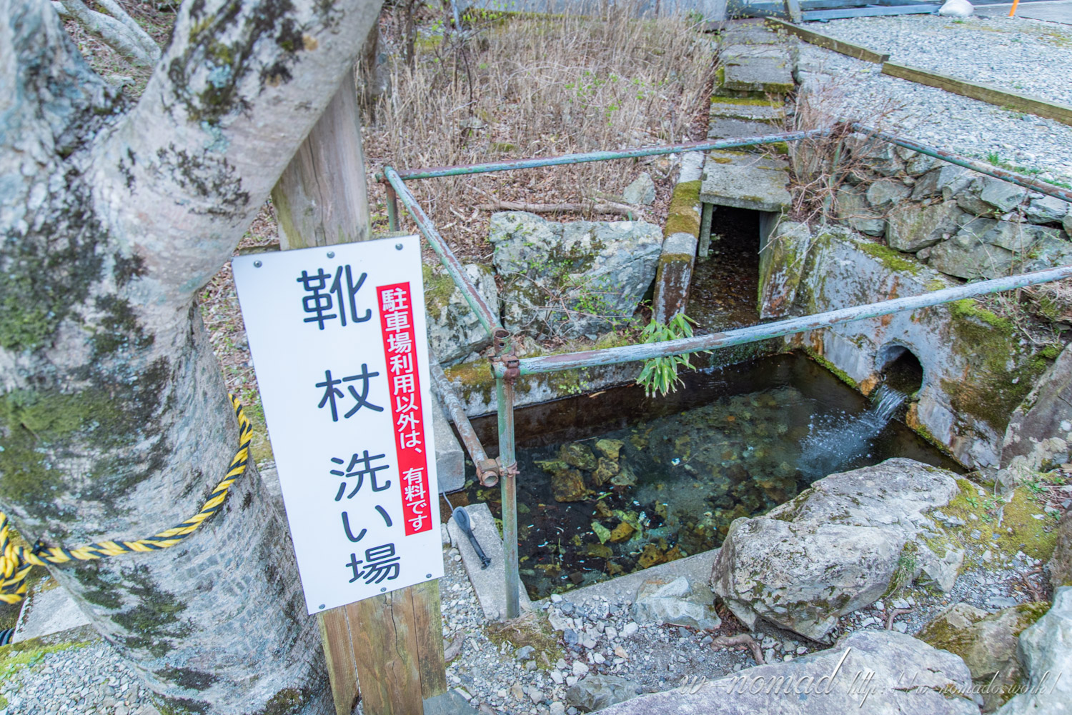
There is also a place to wash your shoes after descending the mountain, but this is free if you use the parking lot, otherwise there is a fee.
You can also buy your hiking badge here, so when you pay for your parking, buy that too! There were no people on the way down, so.
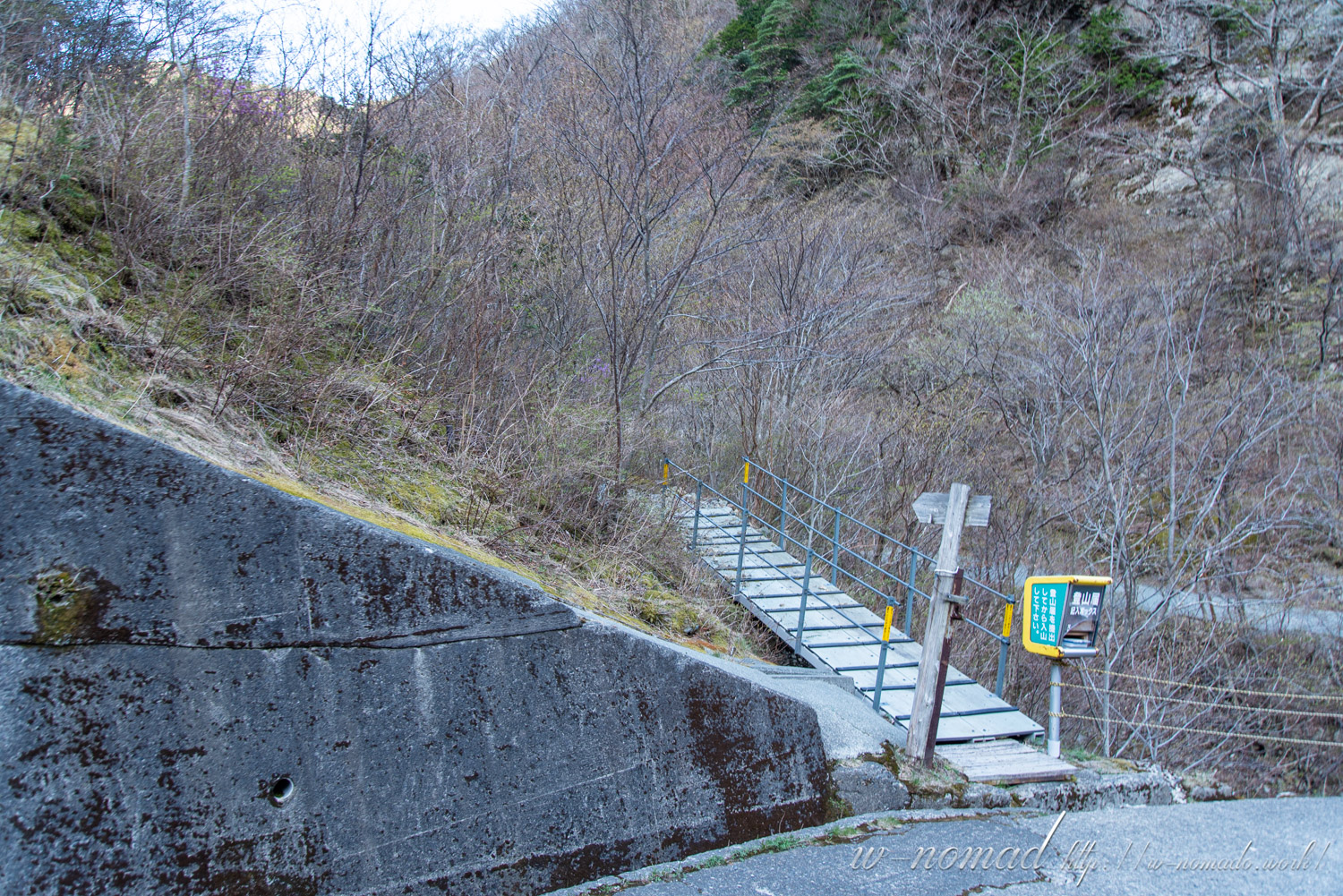
You can deliver your climbing report at the mailbox near the trailhead, but you can also submit it from the Nara Prefectural Police page.
Gyojagaeri-dake, located on the north side of the parking lot, is said to have originated from the fact that Enno Gyoja, the founder of Mt. Omine, gave up climbing the mountain because it was too steep and turned back.
- 靴洗い場。帰りは靴を洗いながら飲み物を冷やしてみましたが、キンキンに冷えました( *´艸`)
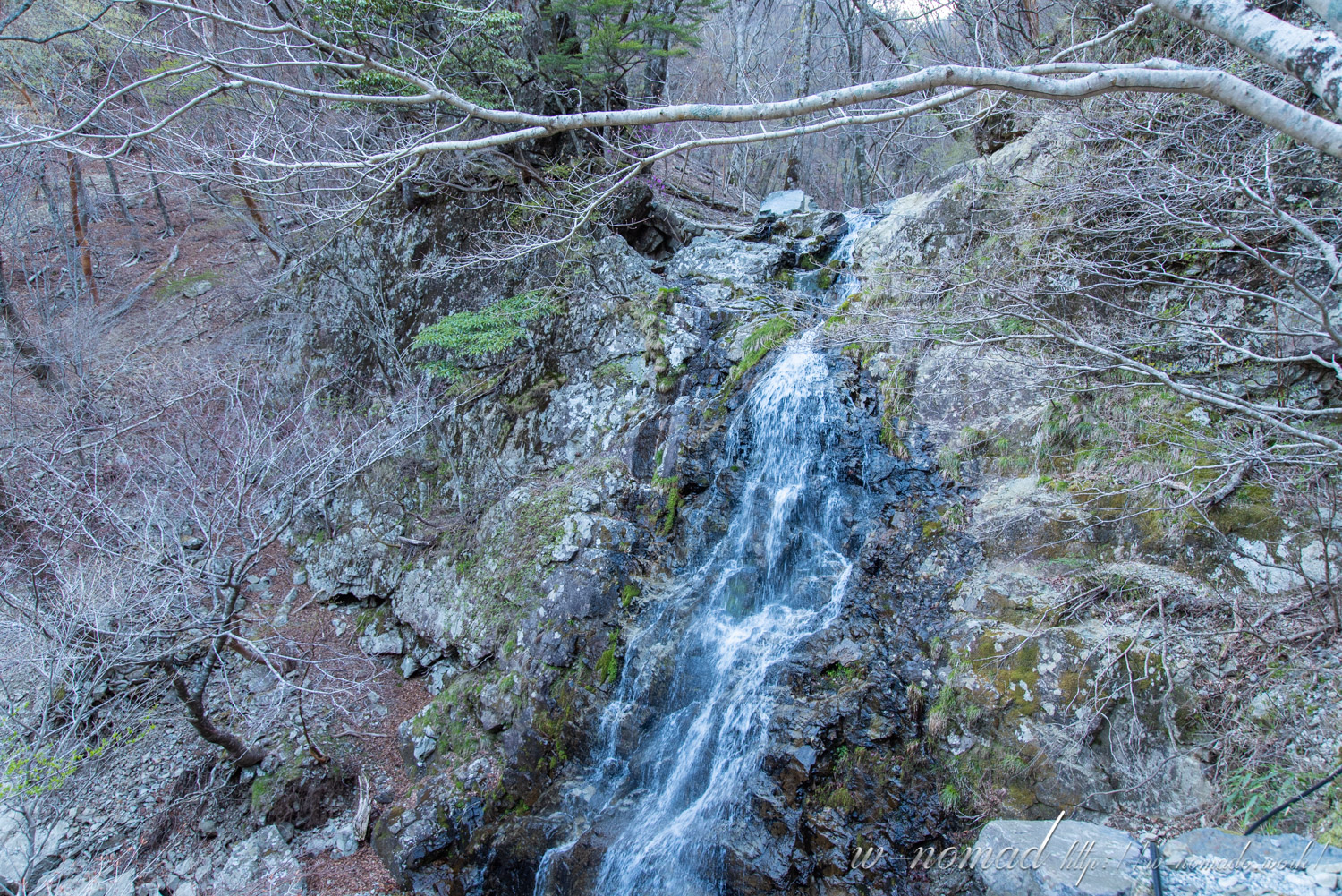
- 小さな滝もありました!
- 図らずも大峯奥駈道に合流となりました( ゚Д゚)ここまで歩くのか…
- 登山届のポストの脇から登山開始です!
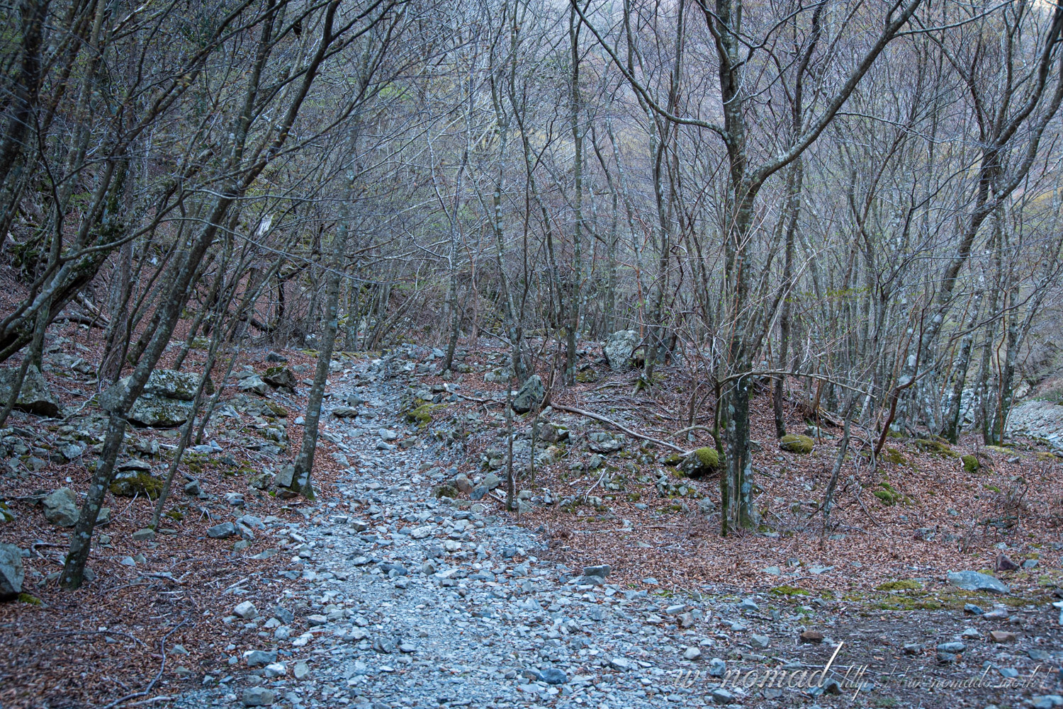
Since we have to climb a ridge right out of the valley, it is difficult for the sun to reach us.
This makes it possible to walk in an ethereal atmosphere until the sun rises.
- 谷あいから一気に尾根へ出るため、太陽がある程度登りきるまでは幽玄な雰囲気が。
- 綺麗な水ですね(*´ω`)
- 弥山小屋に停まる際にはTEL(0747-52-1332)で予約する必要があるようです。また冬季は閉まっており、避難小屋のみ開いているとのこと。営業は4月下旬〜11月中旬なのでお気を付けて。
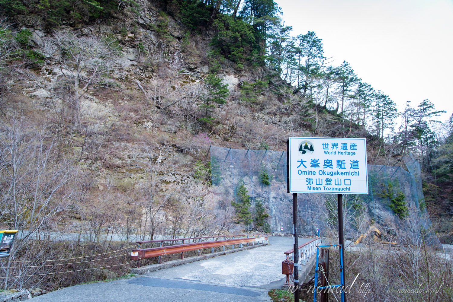
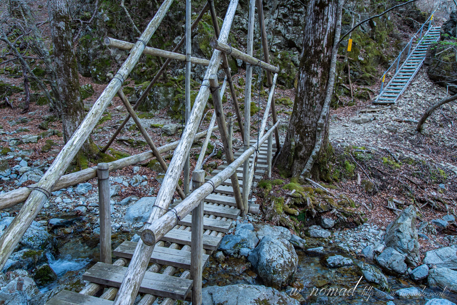
- 橋を渡るといよいよ直登です!!





コメントを書く