Mt. Shari is a volcano at the bottom of Shiretoko Peninsula in Hokkaido, as one of the 100 Top Mountains in Japan.
It is a single-peak mountain.
The mountain is called Onnenupuri (big mountain, old mountain) in the Ainu language, and it was a mountain trip with deep pockets, as if the original form of mountain climbing still remained.
The most popular route is via “Seigakuso”, a mountain hut in Kiyosato Town.
On this route, there is an old road where you can enjoy a bit of stream climbing and a new road where you can enjoy the ridge path.
Mt. Shari opens to climbers on the last Sunday in June.
*The Shari-dake trailhead gate will be closed for the winter from November 1 to June 1.
Page 2: Kami-Futamata to Summit
Page 3: Summit to trailhead, Kushiro Marsh
Access
1. It is recommended to take JAL or ANA to Memanbetsu Airport (MMB) and then rent a car to go to Mt. Shari. Headed for Seigakuso.
Memanbetsu Airport HP : http://mmb-airport.co.jp.e.ug.hp.transer.com/webtra/
[ Seigakuso ]
- Lodging in the facility (1 night) : Adults 1,570 yen (including cooperation fee), children 1,040 yen
- Overnight stay in a car: 520 yen per car
- Parking fee (100 yen)
- one time use of restroom (100 yen)
- portable toilet sales (500 yen)
- portable toilet collection (100 yen)
- TEL: +81-152-25-4111
2-1. Memanbetsu Airport → JR Abashiri Station : Abashiri Bus (Memanbetsu Airport Line), Approximately 15 minutes.
2-2. JR Abashiri station → JR Kiyosatocho Station : JR (Semmo Main Line), Approximately 60 minutes.
*Trains don’t come very often on this line.
2-3. JR Kiyosatocho Station → Seigakuso :It takes about 20 minutes to get to Seigakuso by taxi, about 5,000 yen.
3-1. Kushiro Airport → JR Kushiro Station : Akan Bus (Kushiro Airport-Kushiro Line) , Approximately 50 minutes
3-2. JR Kushiro Station → JR Kiyosatocho Station : JR (Semmo Main Line) , Approximately 130 minutes
*Trains don’t come very often on this line.
3-3. JR Kiyosatocho Station → Seigakuso :It takes about 20 minutes to get to Seigakuso by taxi, about 5,000 yen.
4. Nakashibetsu Airport → Times CAR RENTAL (Nakashibetsu Airport), Approximately 90 minutes.
Detail
- Total distance: 9.59km
- Elevation at highest point: 1547m
- Lowest point elevation: 638m
- Cumulative elevation: 981m
Here’s our report on the trip.
Start trekking!
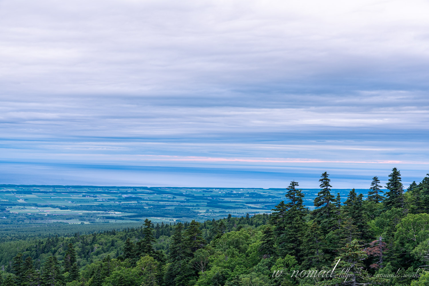
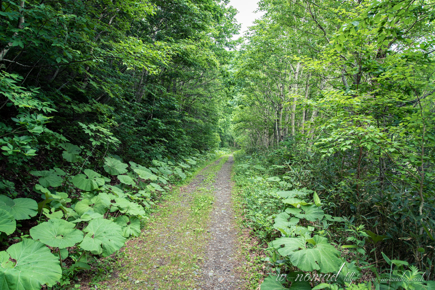
We started from the trailhead of Seigakuso.
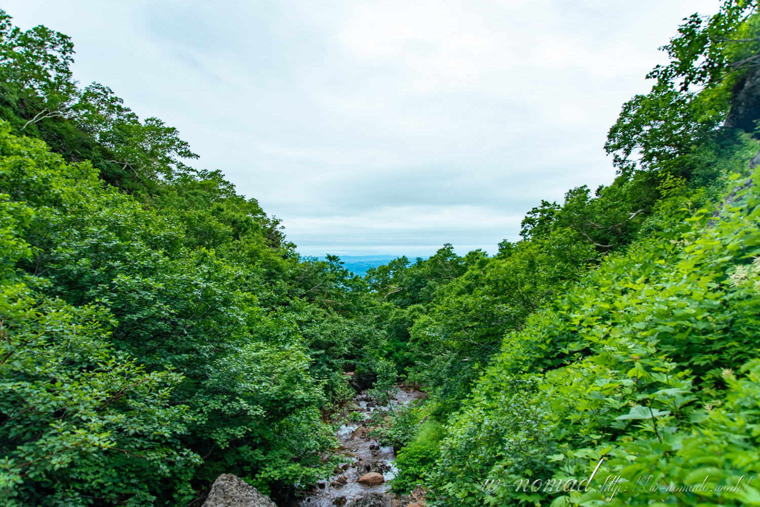
Just after sunrise, we looked at the beautiful sky and the Sea of Okhotsk from in front of the hut, and set off.
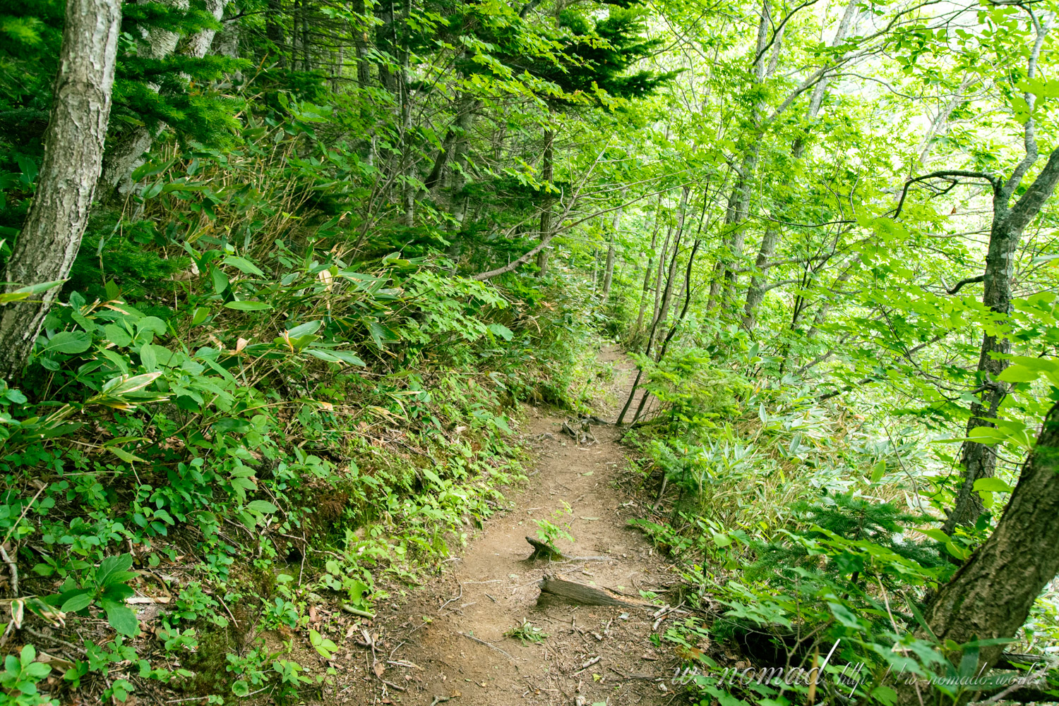
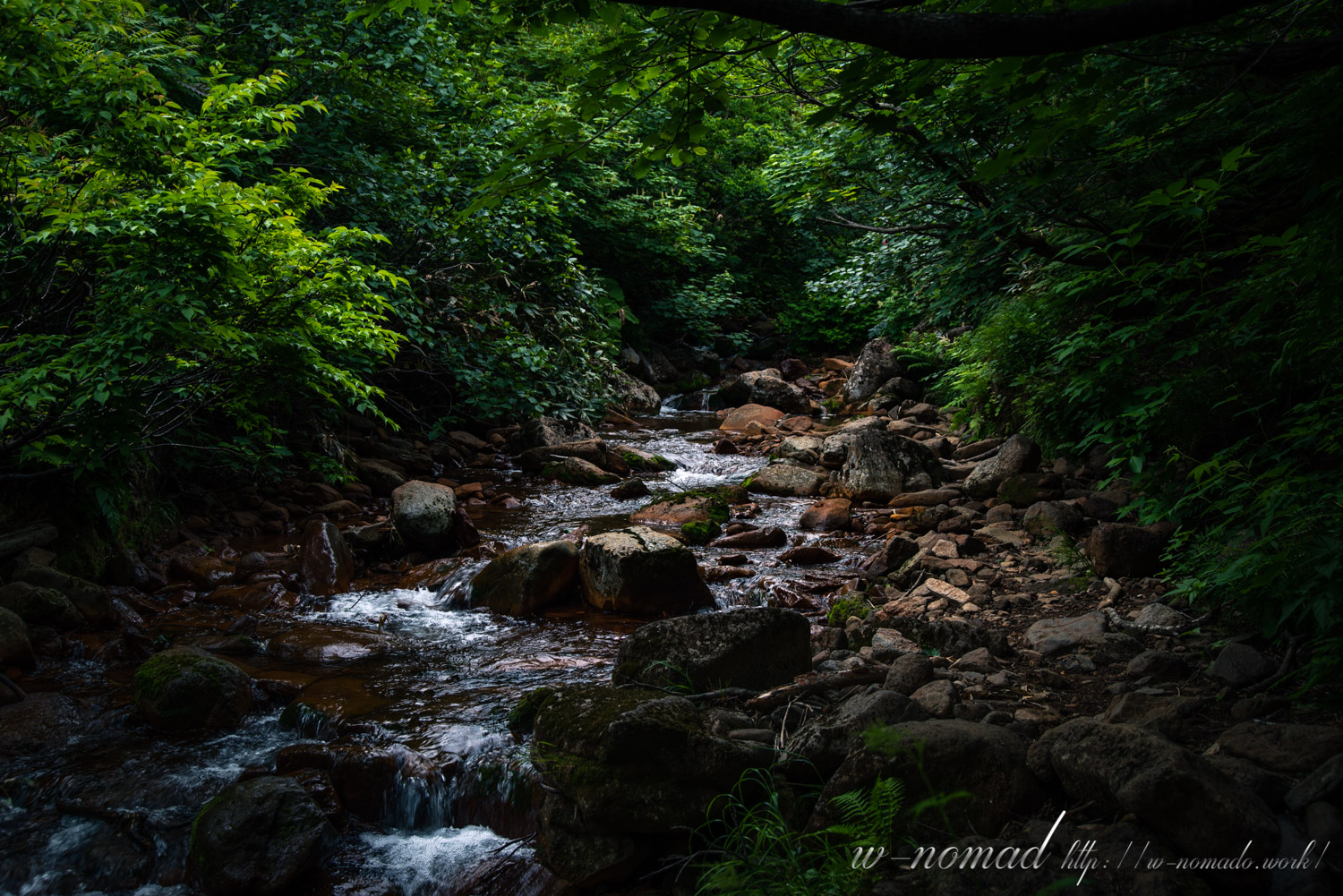
The first part of the trail had a stream flowing near it, and we were a little nervous.
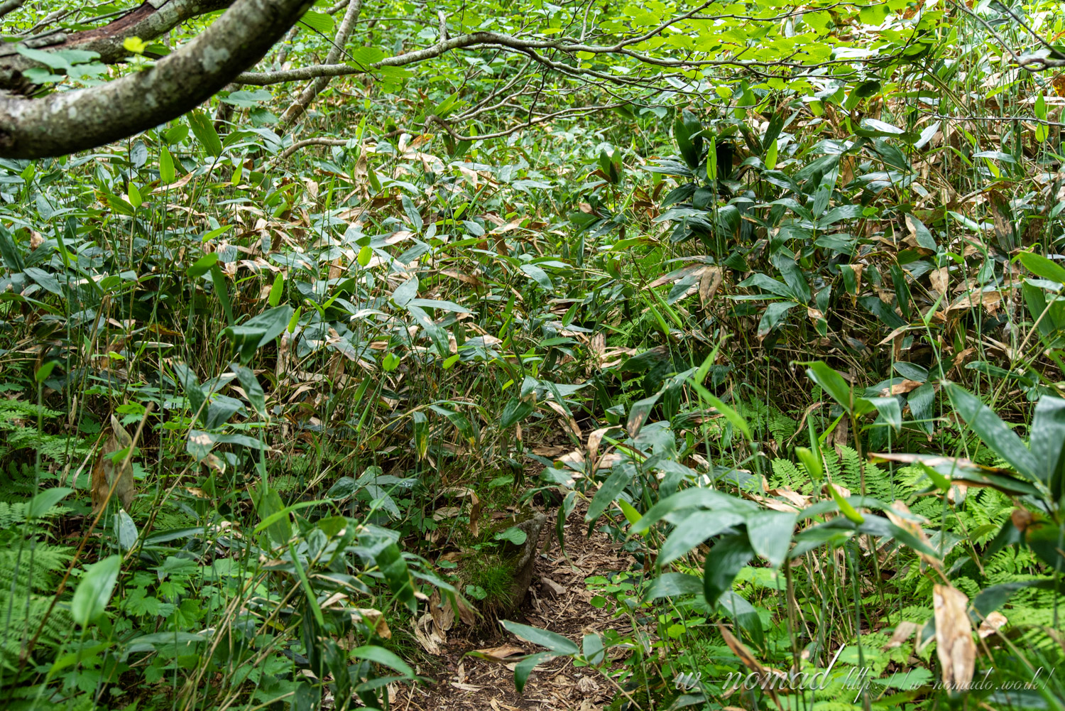
You can feel the thick bamboos and the flow of the river at the beginning of the trek.
-
- 曇り気味も良い風景。
-

- 駐車料金とお手洗いをお借りして出発!お手洗い凄く綺麗(*´▽`*)
-
- 沢にドキドキしながら進みました!
-
- すぐに旧清岳荘への道と合流。
-

- 林道の終点から登山道が始まります
-
- 序盤から笹が多め。
-

- 川の流れをすぐに感じるのも斜里岳らしいですね(*´ω`)
-
- 最初の渡渉!綺麗な水に足を突っ込んでもいいかなという気分にさせられてしまいました( *´艸`)
-
- そして笹(;´∀`)
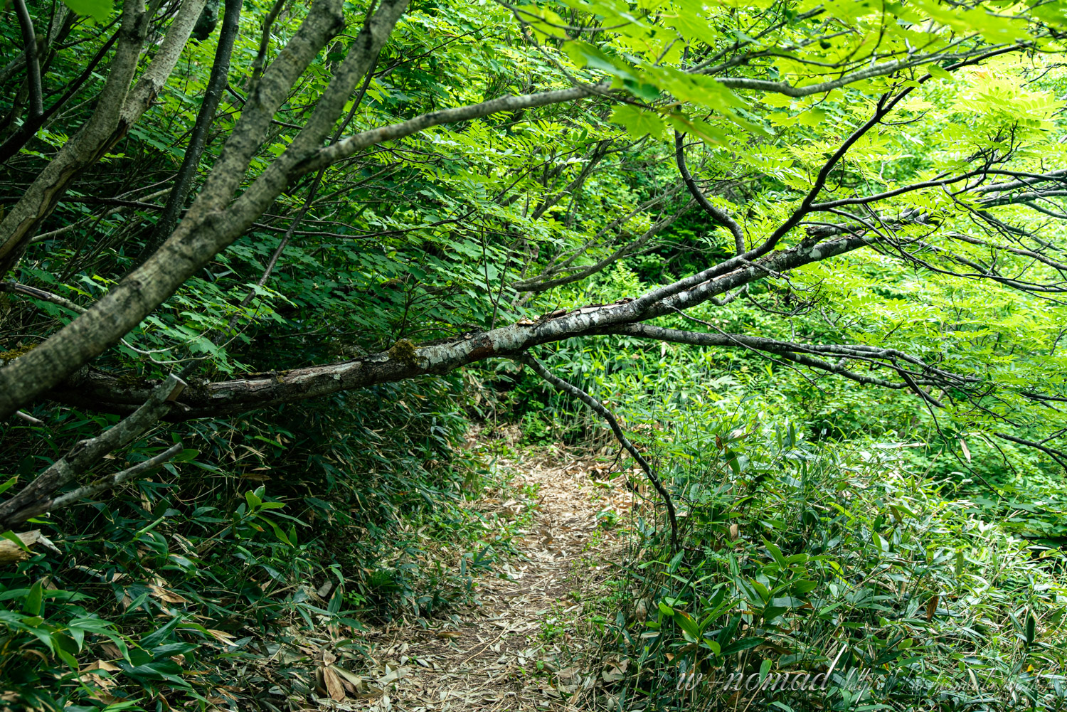
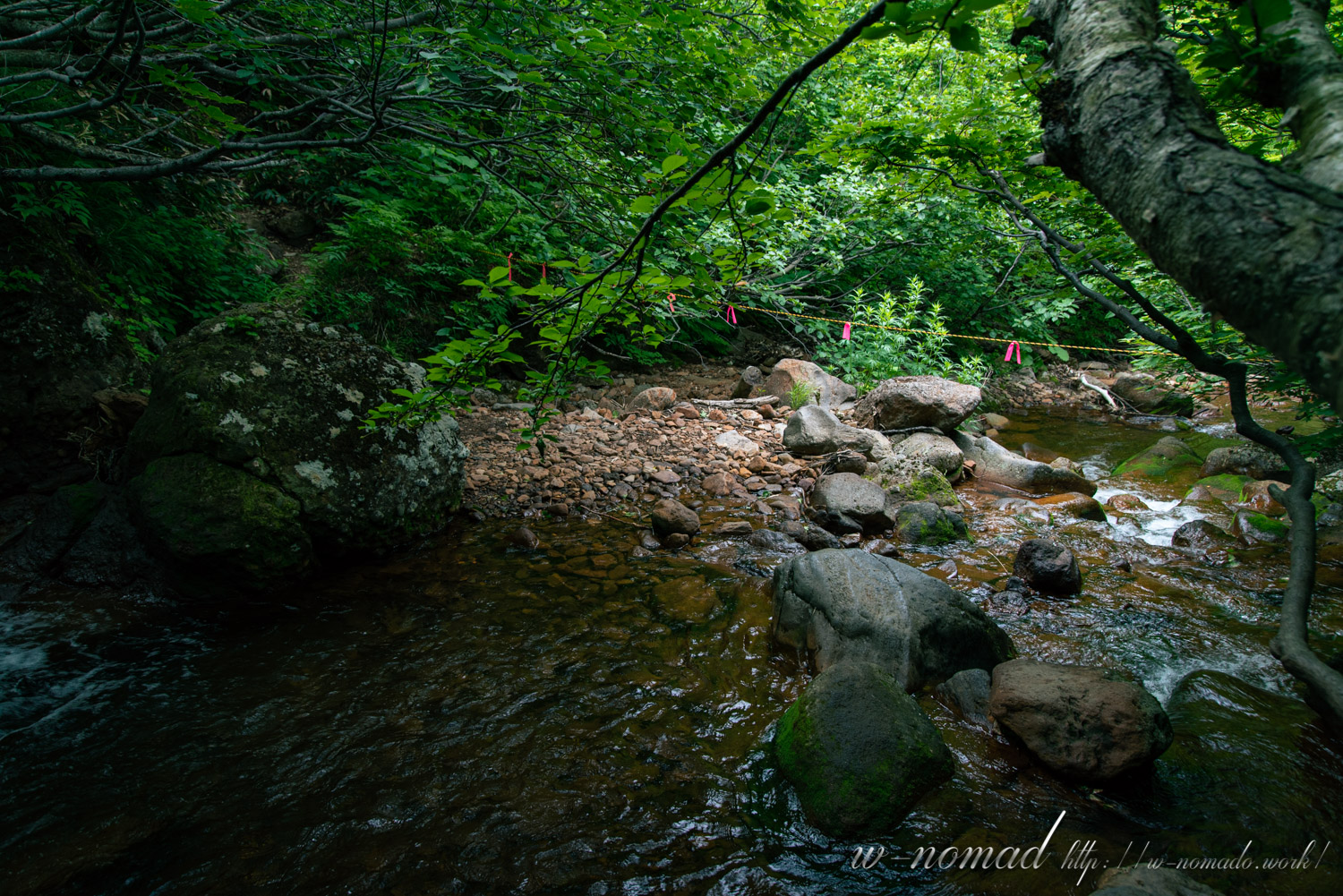
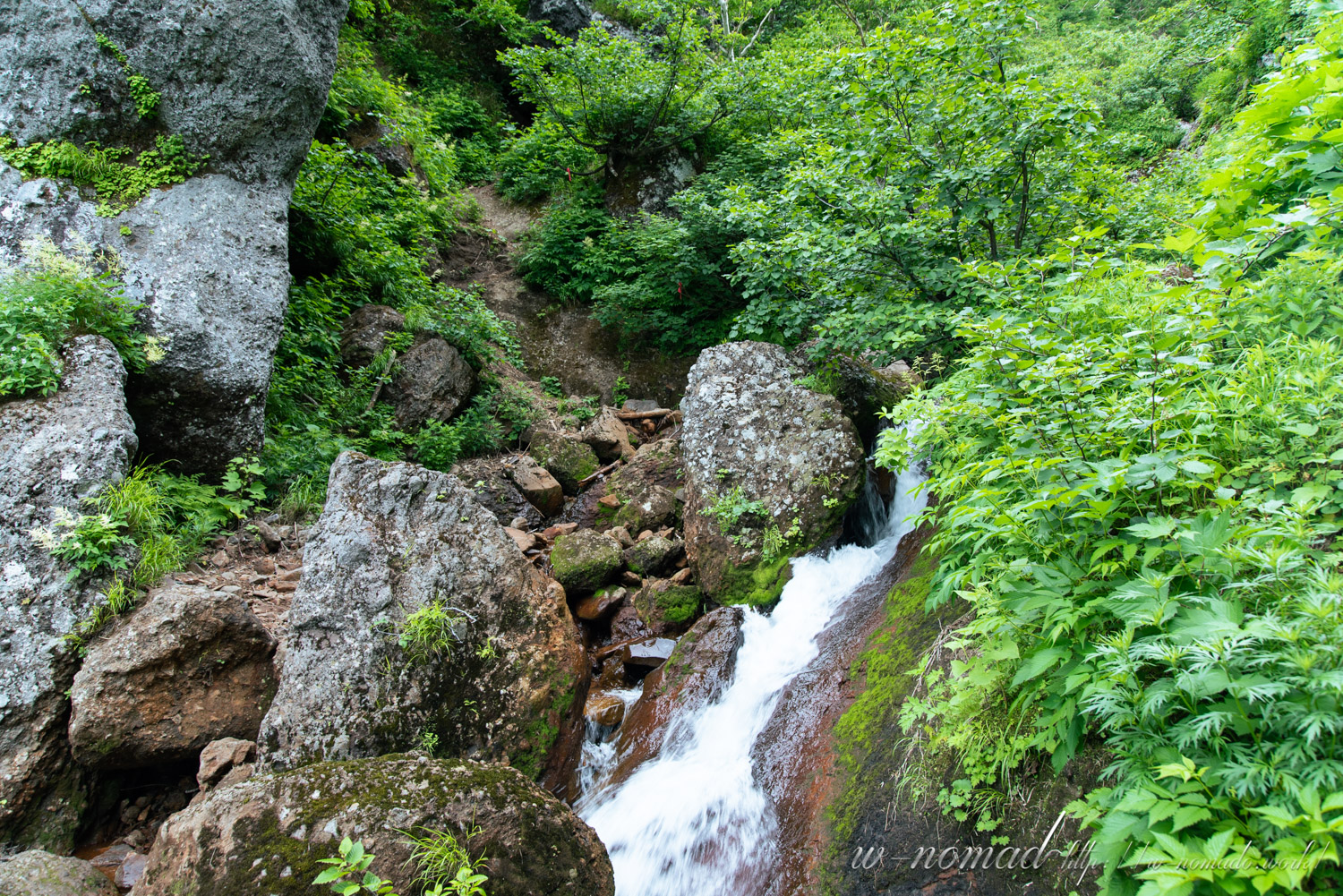
After wading through the bamboo for a while, we entered the fording zone.
It’s a special place where you feel like you’re in a secret place.
Mt. Shari, we follow the pink ribbon. It is sometimes hard to find, so look ahead carefully.
-
- なんだか秘密な場所に来た気分。
-
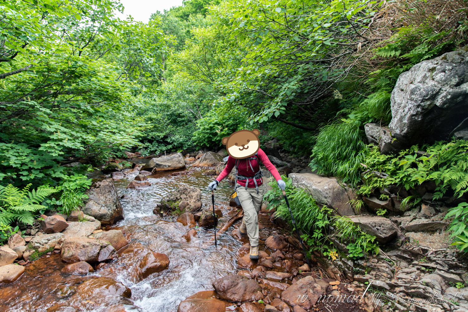
- 最初の渡渉からはちょこちょこと出現。斜里岳はピンクのリボンを目印に進みます!

-
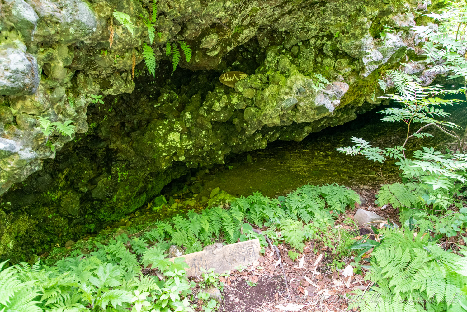
- 「仙人洞」寝るくらいならできそうなスペース。
-
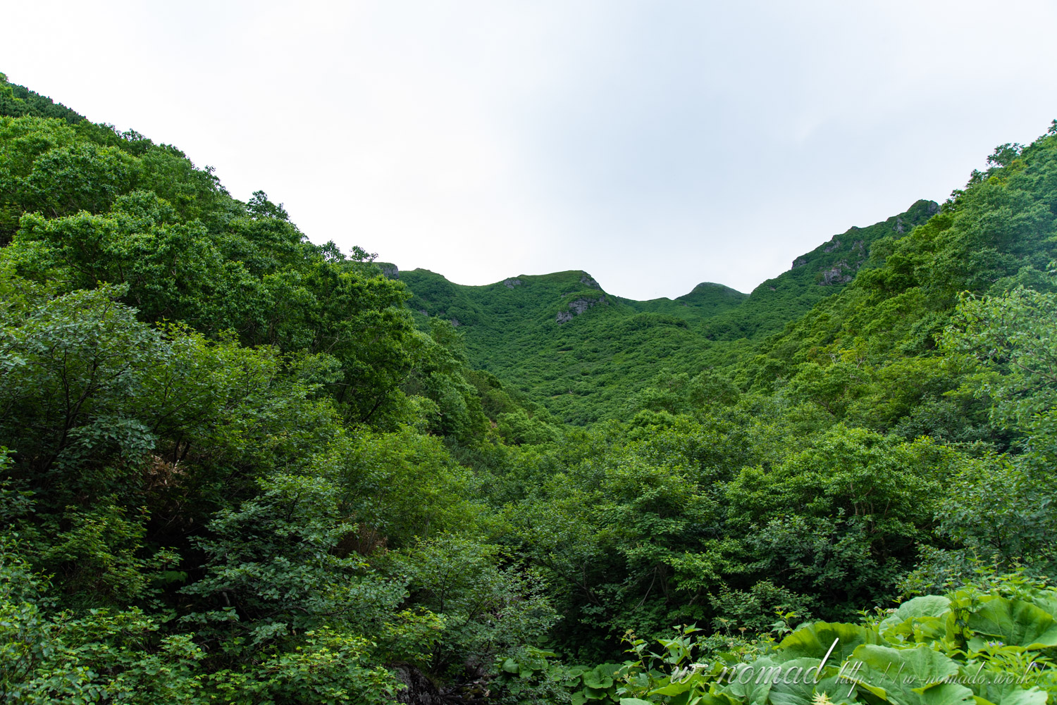
- 見える尾根のところまで登るという。急登っぽいですね(;´∀`)
-
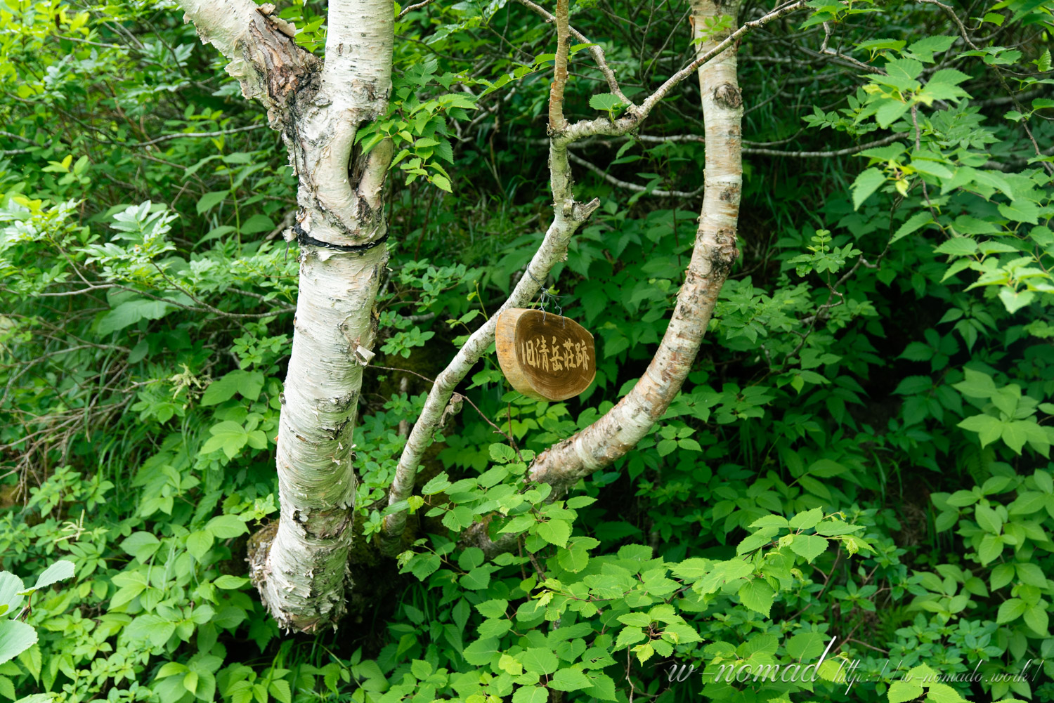
- 旧清岳荘(初代)に到着!避難小屋でも小さいくらいの広さがありましたが、もっと大きく建ててたのでしょうか。
Arrival at Shimo-Futamata!
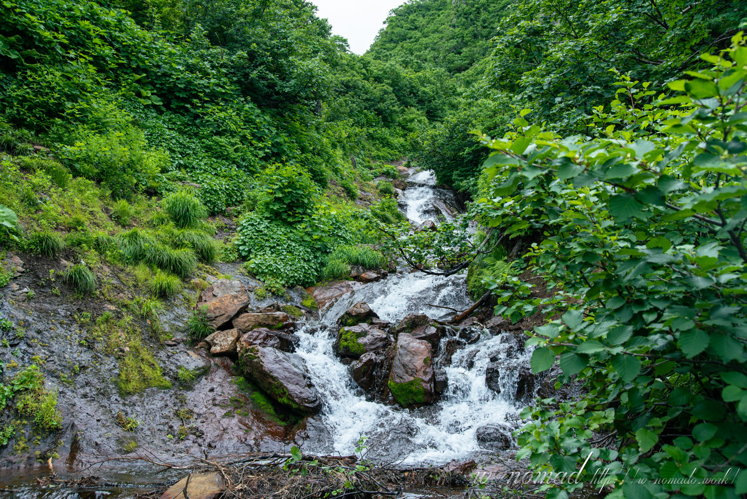
From here, the slope starts to get tighter.
This time, we took the old road to the top of the mountain.
-
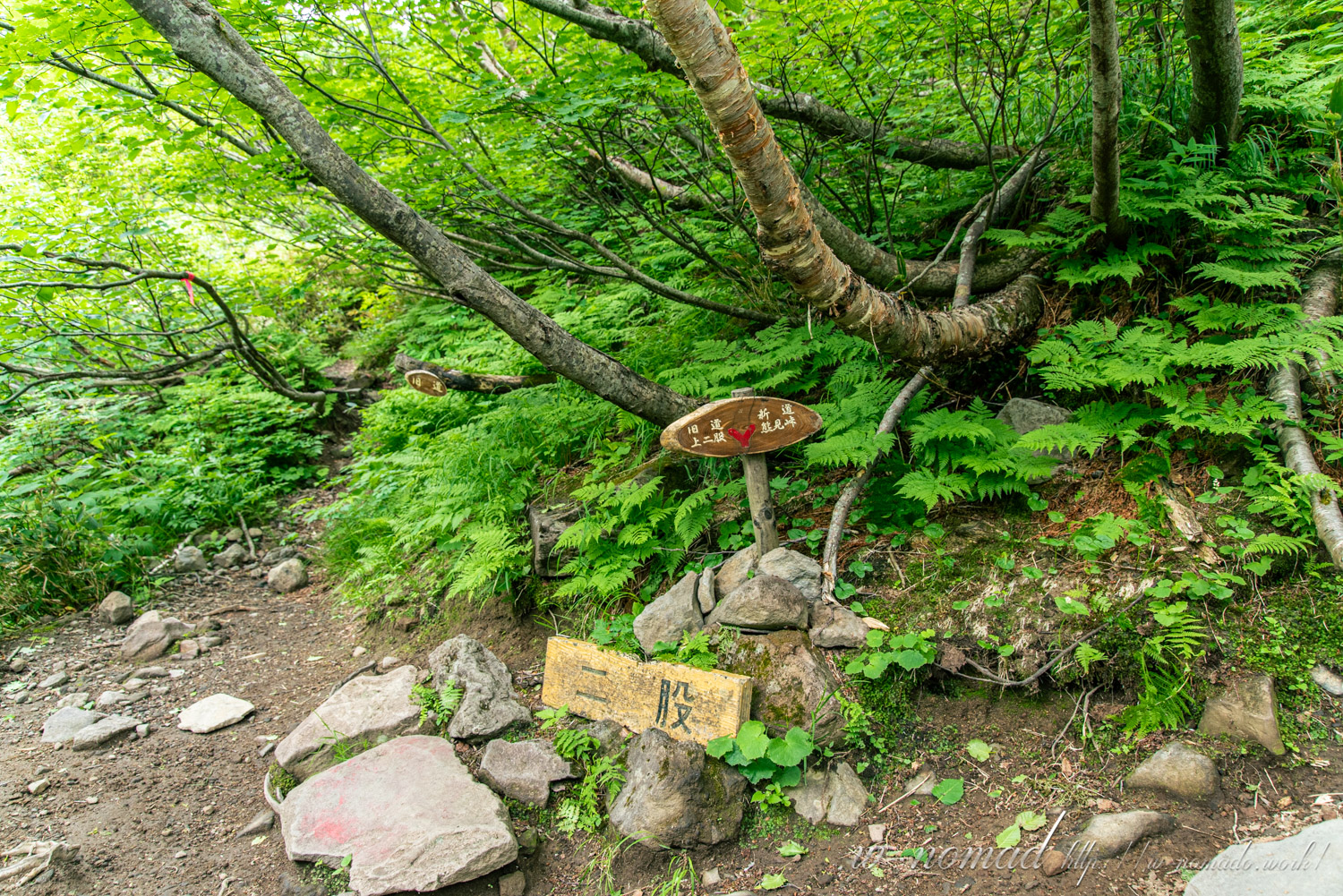
- スペースはそこまで広くないので、ちょっと下の旧清岳荘跡で準備をしてしまってもいいかも。
-

- 斜度が上がります!
-

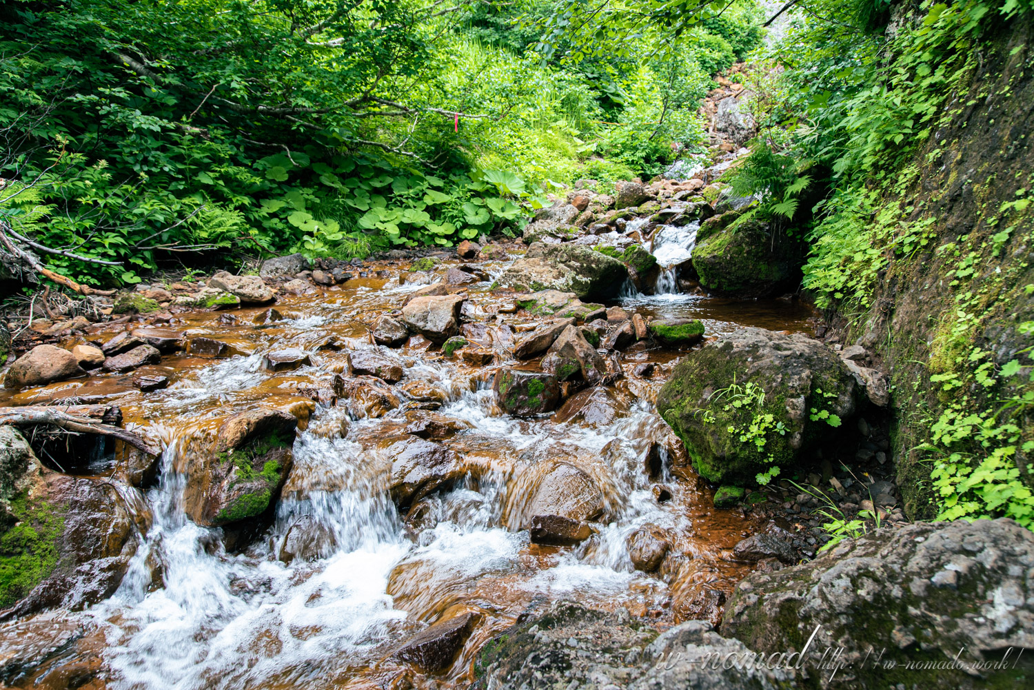
- 左右に渡渉しながら標高を上げていきます!
-
- ピンクのリボンが分かりにくい場所もありますが、先を探せばありますので焦らず進みましょう!
-
- 勢いよく流れています(*´▽`*)ここは左側の茂みに道がありました。
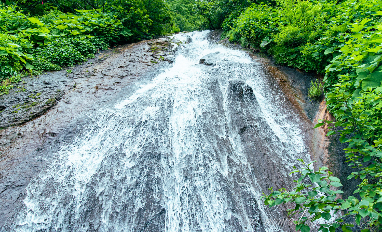
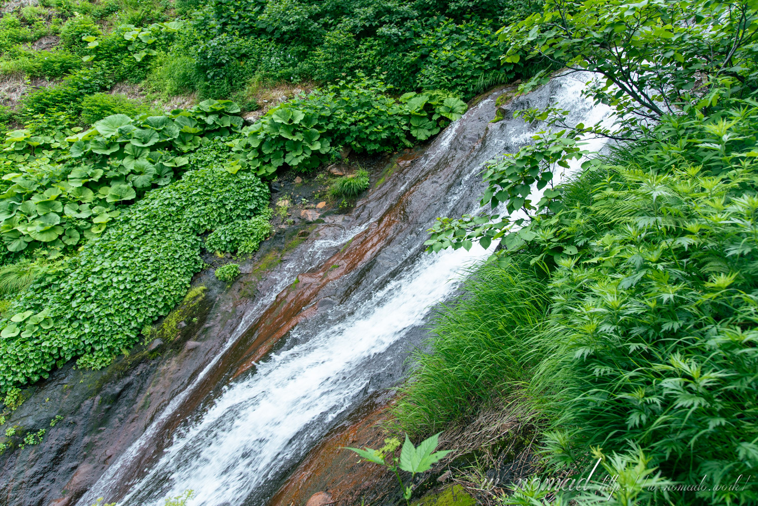
We climbed up the steep slope, wading in here and there. Gradually the slope became more slippery, so we took a break while climbing.
Looking back, we could see Abashiri Bay.
-
- ひと休みしながら振り返ると街並みや網走湾が。
-
- 下りたくないなぁと思うような道も多々あり。
-

- ここの登りがなかなか滑りそうで大変でした(;´∀`)斜度あるのに足場がない感じで、ボルダリングの課題っぽいなぁと。
-
- 滑り降りたら楽しそうだなぁとか思いながらなんとか登りました!
-
- 水も豊富ですね(*´ω`)
Continued on the next page, on our way to Kami-Futamata!