【The second day】Mt. Nikkoshirane, Kirifuri plateau and Mt. Maru
day1 is here.
We were planning on going to the Kirifuri plateau early in the morning for the cooler temperatures and smaller crowds, but my husband overslept.( ゚Д゚)Sorry…(*´ω`*)
We pulled ourselves together and departpered at 7:40! The distance of destination from here is 10 km. The parking lot near the summit was already full, because my husband overslept. There was already a line formed when we stopped at a temporary parking lot and waited for a bus. (‘Д’) Although the bus came, it seemed like we couldn’t get on, so we walked 1.5 km to the Kirifuri plateau.
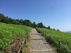
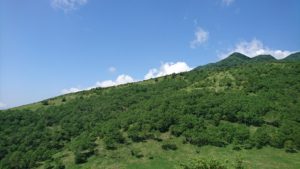
The Kirifuri plateau came into view!It took about 20 minutes to go.(‘ω’)ノ
We arrived at 8:30, but there were quite a few people.( ゚Д゚) It felt like there were a lot of tourists there.
So we started climbing!
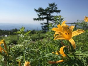
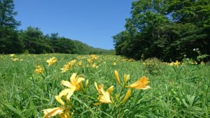
We didn’t know that it was the best time to see day lily (*・ω・*)That’s why there were a lot of people.
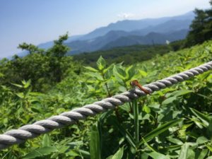
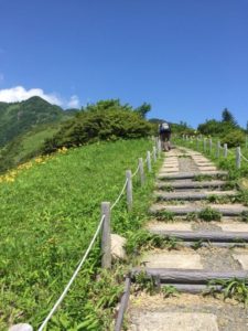
We also thought about climbing the stairs, but we wanted to climb the hiking trail at a leisurely pace. And so, we decided to go with the hiking trail!
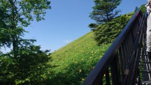
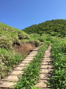
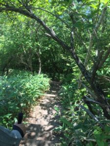
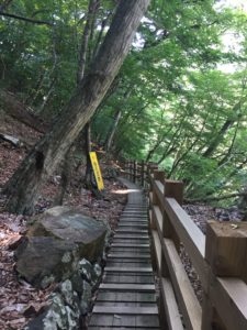
After a while, because we could only climb the stairs, when we did, it was at a steep angle.(‘Д’)
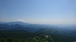
We had climbed for a while and took a rest at the observation platform along the way! The observation deck was really pleasant as the wind blew through.(*´ω`*)
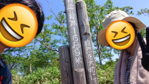
With this thing and that we reached the top of mountain! By the way, altitude is 1445m, in associating with there being 1445 stairs. ( *´艸`)
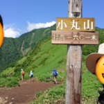
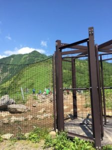
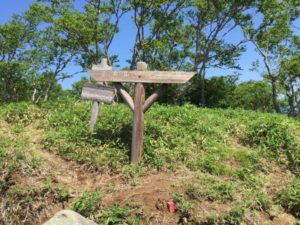
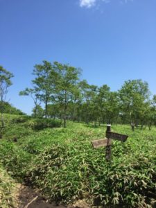
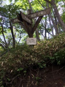
As we went down the observation platform, there was a gate to Mt. Akanagi and Mt Maru, arriving at the summit of Mt. Komaru in about 2 minutes.
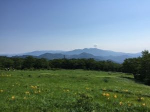
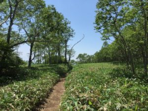
It is the Mt. Akanagi route that you can see in the back. Since we did not want to do any hard exercise, we will proceed to the Mt. Maru hiking route on the right side.
Looking back after a while, the people who are in the Mt. Akanagi route looked like grains of rice. Next time we will be there!( ゚Д゚)
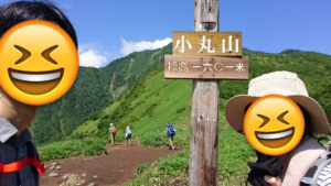
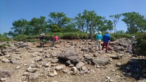
We arrived at Mt. Maru summit soon unexpectedly!
We took a short rest before heading to Yappeigahara. We walked a bit until, suddenly, there was a step descent.
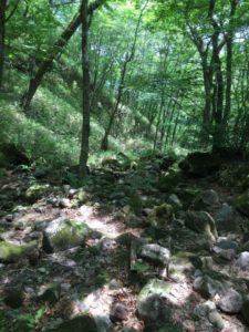
I thought that we took a lot of time from branch point of Yappeigahara to the rest house. The last part of the hiking trail was very muddy. I didn’t notice that it was cloudy because of the trees. I’m glad it was sunny at the summit.(*´ω`*)
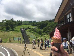
I thought that I could climb more easily, but I was exhausted. We treated ourselves to strawberry soft-serve ice cream. It was sweet, sour, and very refreshing and delicious.( *´艸`)
The inside of the car got really hot as we got back to the car.(´Д`)One of the items to be considered.
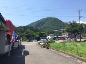
Well, we moved to Ryuokyo, 20 km away from the parking lot. I had soft served ice cream and then decided to move. However, I was still feeling very hungry. Anyway we moved to Ryuokyo.
Arrived!
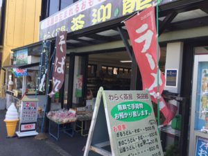
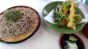
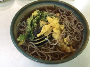
This time we had a lunch at “Waraku-Chaya”, and ordered 1,000- yen tenzaru-soba and 800-yen tempura-soba. Although I didn’t know what was the difference of prices, I found out that maitake mushroom and a shrimp were in one of them as additional ingredients.(*´ω`*)
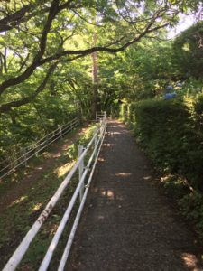
After having a delicious lunch, I went to Ryoukyo. I headed to the back of shop and walked down the long flight of stairs.
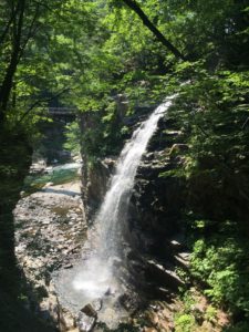
When we reached the bottom of the stairs, we could see Nijiminotaki Falls. It was nice and cool.
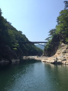
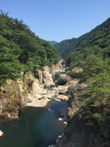
You can see a rainbow from here in the morning, and around noon, you can see it from the bridge a little ways on from here. There are stairs that you will need to go down. After that take a few steps further and a beautiful scenery will be waiting for you!
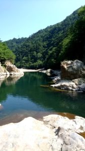
It is just a short distance from the parking lot, but it is my favorite spot! It is very clear and beautiful.(*´ω`*) On the weekends, you will able to see see children splashing water with their parents. It’s a nice scene!
We took the circuit of hiking road after we climbed the stairs.
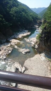
We reached the other side of the bridge in an hour, and at the same time, we were chilling out on rocks. We enjoyed the scenery a great deal, but it was a lot hotter than the previous day, because of the low altitude. I felt kind of dizzy and I couldn’t take pictures after that.(;^ω^) There is a patch of white arum near the second bridge. The best time to see them is in May!
I got thirsty, so,I went back to the parking lot and immediately drank a soda(*´ω`*) It’s so delicious!
We still had time to sightsee, but we were so tired we decided to play it safe and go home. After a 150km drive back, our day was done.
【This trip’s summary】
- total cost:about18,000 yen
- total distance traveled:410km(1st day 230km/2nd day180km)
- transportation device:car
- transportation cost :gasoline 7,923yen
- 1 night at hotel
- accommodation fee:6,480yen
- total distance19km on foot
- Mt. Nikko-Shirane Cable car→Mt. Nikko-Shirane(half-way):12km
- Mt. Nikkoshirane, Kirifuri plateau and Mt. Maru : 4km
- Ryuokyo : 3km
・consideration
- Laptops are left in the car while climbing, so heat measures need to be taken in the summer.→I’ll examine how effective it would be to use a sunshade in the car.
- Departure time and sleep time. Because its drop in concentration at the mountain.→Using highway?
- Be short on physical strength. Because its drop in concentration at the mountain and couldn’t doing a job after climbing.→It’s a easy to start daily training.
- Be short of equipment for mountian. As far as my husband’s trekking gloves and poles.→I think that once I am accustomed to it, the problem of whether I like it will present itself. So I will thoroughly consider the problem of using cheap equipment.
- Laptop’s battery. It will be happen at camp site. → To bring in a mobile battery early.
1st report is finish!Please look over us with kind eyes(*・ω・*)



コメントを書く